Storms and Flooding: February 17-24, 2005
Last updated August 9, 2005
|
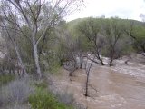
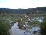
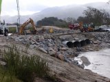
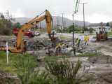
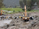
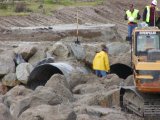
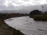
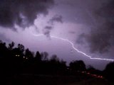
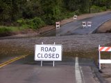
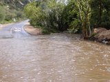
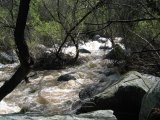
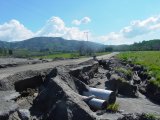
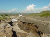
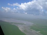
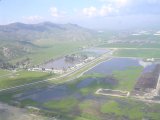
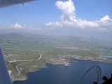
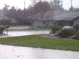
A storm series much like the series in early January left southwest Riverside County and north San Diego County with a myriad of weather-related problems this week, including flooding, mudslides, road closures, tornados and the closure of Lake Elsinore (again) as water from the San Jacinto River surged into it. By the time the rain ended with a spectacular thunderstorm Thursday night, many local communities were approaching seasonal rainfall records. Photos to the right document some of the problems faced in the latest storm series. Pala Road Flooding Strands ResidentsFor the second time this year, residents along Pala Road, south of Temecula were stranded in their community when floodwaters at the Pechanga creek, severely damaging the Pala Road crossing that had just been repaired after washing out in January. The road was also closed north of Pala Monday through Wednesday when a creek overflowed across it, putting a section under three to four feet of water. The creek had receded enough on Thursday for traffic in and out of the affected area to resume. The affected area was just south of Great Oak High School, where Pechanga Parkway becomes Pala Road. "There were eroded fissures on either side of the road," said Sue Bram, a resident of the area, "and by Sunday afternoon they had widened and there was at least one more." Water had risen high enough to erode some of the dirt fill beneath the roadway. Residents of this area were also stranded in early January for a day or so when much the same thing happened. The second washout of the Pechanga Creek crossing has strenghened arguments for building a bridge there. County of Riverside repair crews were hard at work on Pala Road beginning Monday. Boulder and fill dirt have been moved into position to shore up the sides of the Pechanga Creek channel. "They are shoring up and channeling future water flow more directly to the culvert pipes", said Bram. "Or so it appears." The crossing reportedly reopened Friday at 6pm with new asphalt blacktop in place. Tornados Hits Fallbrook, Rainbow and TemeculaBefore the second storm hit, tornados tore through Fallbrook, Rainbow and Temecula on Saturday morning at 9:45am, downing fences, felling hundred of trees, knocking out power, and damaging about 50 homes. The tornado that hit Temecula was rated F1 on the Fujita-Pearson scale, with winds estimated at 80-90 miles per hour. Read more about the tornados. Lake Elsinore Closed and Close to OverflowDue to sanitary concerns, Lake Elsinore was closed as water levels rose during the recent storms. The lake was also closed after the early January rains, and had recently reopened. Originally we had reported that Lake Elsinore had begun spilling into its outfall on Thursday, February 24th. This was an unconfirmed report, however. Official reports and an onsite observation indicate that the lake hasn't yet spilled, although it was only a few inches from spilling on Monday, February 28th and still rising. The official lake height was 1254.26 feet and the outfall level is 1255 feet. The outfall from Lake Elsinore leads into Temescal Creek. Lake Elsinore is the endpoint of the San Jacinto River, which also includes the Railroad Canyon Reservoir in Canyon Lake, which has been spilling off and on since the October rains. At one point this week, Canyon Lake was more than three feet above the spillway. The San Jacinto River was flooded between Canyon Lake and Lake Elsinore with very brown water. Flooding Closes Local RoadsMany local roads were closed as a result of six to eight inches of rain over the week. Some of the major roads closed included Railroad Canyon Road in Canyon Lake at Salt Creek, and Collier Avenue just north of Riverside Drive in Lake Elsinore. Parts of the City of Lake Elsinore near Riverside Drive and Collier were swampy from rainfall runoff. Rainfall caused more damage to Los Caballos Road in the Temecula Valley wine country, east of Temecula. The road is apparently not maintained by the county, and already had sustained major damage in January. One lane of the road remained passable. There were many other road closures in nearly every community in the area. Despite the plethora of flooding problems, there were fewer of them than after the early January storms. Thunderstorm Provides SpectacleIn a spectacular final show, an unstable air mass left behind by the storms generated a thunderstorm over Agua Tibia mountain Thursday night. The storm moved southwest from Agua Tibia, which straddles Riverside and San Diego counties, from the Temecula Valley into Fallbrook, where it dumped 0.83" of rain in less than an hour. South Temecula received 0.18"; Central Temecula received 0.67". The lightning spectacle was visible from all over southwest Riverside County and north San Diego County, as well as parts of Orange County. Loud thunder could be heard throughout the region. Lightning strikes were dangerously close to homes and struck power lines in some areas. Michael Mojarro of Temecula reported that a lightning strike took out power for 15 minutes near Calle Medusa in the northeastern part of town. Dime-sized hail fell there for a few minutes, he said, and he witnessed lightning hitting a power pole in the neighborhood, sending sparks across his car. In Fallbrook, a lightning strike near Green Canyon Road and Pheasant Lane knocked out power. Robert Gonsett of Fallbrook called the thunderstorm "The most spectacular lightning storm I've seen in Fallbrook in fifteen years." At one point, lightning bolts were seen every five to ten seconds. Lightning could be seen arcing from cloud to cloud. "The thunder rattled our bones," he said. The rain and hail hit Temecula in the 6 o'clock hour and Fallbrook in the 7 o'clock hour. Thunderstorm activity was also reported north of Hemet. Rainfall Near RecordsSeasonal rainfall in downtown Los Angeles, which has some of the oldest rainfall records in Southern California, has reached 34.36" Thursday morning, the third wettest year in recorded history. The wettest year in Los Angeles was 1883-84, when 38.18" fell. It's likely that record will fall before this rain season ends June 30th. The second wettest rain season was 1890-91, with 34.84" of rain. Records for southwest Riverside County communities and are not available. WeatherCurrents' Temecula site has the longest history, but only dates back to 2000, and totals at this point have long eclipsed the past four years. The totals at this point for 2004-05 are probably comparable to the 1992-93 rain season, the year of the Old Town Temecula flooding. The record for Fallbrook occurred in 1992-93, the same year as the Old Town Temecula flooding, and is 36.85", as recorded by George F. Emerich.
On Friday morning, seasonal rainfall was above or approaching 30" for most inland communities. Murrieta led the way with 34.71". Fallbrook was less than two and a half two inches short of the all-time record, 36.85", recorded in 1992-93.
WeatherCurrents' news stories rely on reports from the community. Report storm damage and closures. Submit a storm-related picture. Online news articles related to the storms:
Video:
See a list of all past weather happenings in your area on the Features page. Emailed reports by Sue Bram, Jim Sappington, Robert Gonsett, Viviani Piekutowski, Bryce Nakatani, Brian Endres, Keith Newman, Michael Mojarro and Tom Chester contributed to this story. Photos are courtesy of Brian Endres, Jim Sappington, Robert Gonsett, Dave Norton, Carlos Fimbres, Darryl Medley, Mike Wilson, Larry Moskowitz, and WeatherCurrents. |
| ||||||||||||||||||||||||||||||||||||||||||||||||||||||||||||||||||||||||||||||||||||||||
