N/A°F / N/A°F
N/A
N/A
Temecula and Murrieta Winter Storm Photos: Winter 2004
| Editor's Note: This feature has been planned for several weeks, but time constraints have delayed it. Better late than never! | |||||||||
|
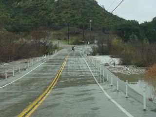
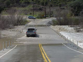
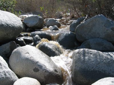
Winter 2004 saw some rain and flooding in and around the Temecula Valley, especially in February. February is normally the wettest month of the year in southwest Riverside county, and this year was no exception. Many photographs were taken of water flowing through seasonal creeks, flooding in certain spots on the Santa Rosa Plateau near De Luz, and of storm clouds above the Temecula Valley. All it takes is a couple of inches of rain in some local spots and the flooding begins. Rain totals for this February on WeatherCurrents.com weather sites were: Temecula: 4.24", Murrieta: 4.05", and Hemet: 3.29". In spite of the above average totals for February, southwest Riverside county appears headed for below normal totals for the 2003-2004 season, due to a below normal March and dimmer prospects for the rest of the rain season. We couldn't publish all of the submitted photos in our featured photos sections on the Temecula and Murrieta weather sites, so here are the best of the rest. These photos were contributed by Sheldon Otto, Dave Norton and Darryl Medley. Here is a list of winter storm photos that were used as featured photos this year:
See a list of all features, including fires, snow, hail and other local weather events, on the features page. When weather happens, submit your photo. All submissions are welcome. |
||||||||


