Currently
N/A°F
in Perris, California, USA

N/A°F / N/A°F
N/A
N/A
Friday, January 16, 2026 4:51 AM PST
Perris Current and Past Featured Photos
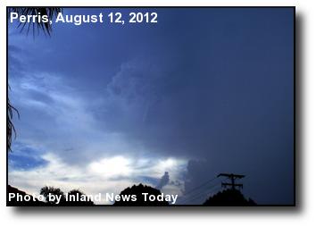 Funnel Cloud: Located in the Good Hope area west of Perris, this funnel cloud led to a tornado warning. Photo courtesy of Inland News Today.
 Red Baron: A vintage Fokker tri-plane at Skydive Perris. Photo courtesy of Gary Fogarty.
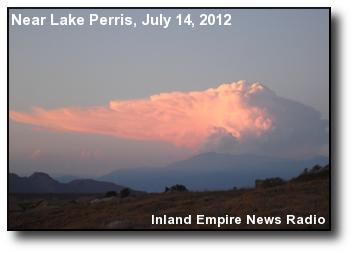 Cloud Eruption: San Bernardino Peak 'erupts' with a sunset thunderhead, as viewed near Lake Perris. Photo courtesy of Inland Empire News Radio.
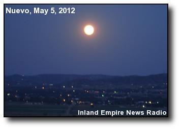 Super Moon: A full moon, 12% brighter than average, over the Nuevo area. Photo courtesy of Inland Empire News Radio.
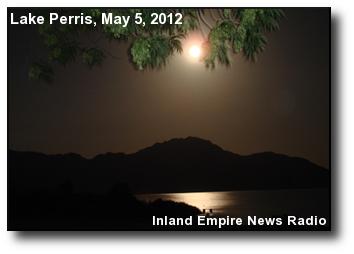 Super Shine: The moon at lunar perigee over Lake Perris. Photo courtesy of Inland Empire News Radio.
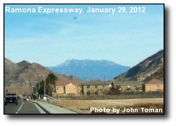 Mountain Peek: Mount San Jacinto rises in the east above the Perris Valley. Photo courtesy of John Toman.
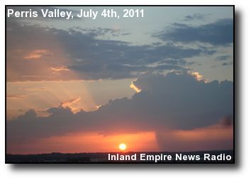 Sunset Scene: This July 4th sunset photo shows a shaft of rain to the right of the solar disc. Photo courtesy of Inland Empire News Radio.
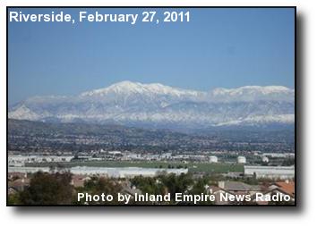 Mountain Snow: A view of snow-covered San Bernardino Peak and Mt. San Gorgonio, with the March Air Reserve Base in the foreground. Photo courtesy of Inland Empire News Radio.
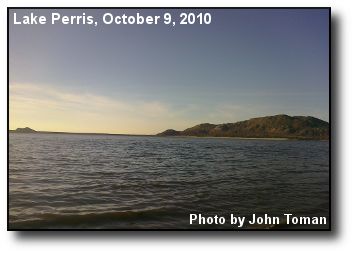 Lake Shore: The beach of the north shore of Lake Perris, as seen from the south shore. Photo courtesy of John Toman.
 Lake Sunset: The afternoon sun falls shining on Lake Perris, with the dam and Santa Ana mountains in the background. Photo courtesy of John Toman.
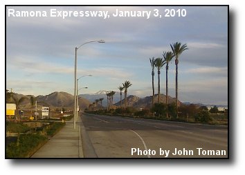 Mountain View: A view down a row of palms on Ramona Expressway, over the Lake Perris dam and to Mt. San Jacinto. Photo courtesy of John Toman.
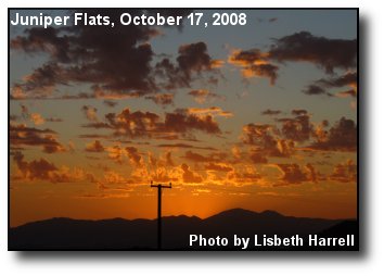 Fading Light: From Juniper Flats, near Nuevo, the colors of sunset. Photo courtesy of Lisbeth Harrell.
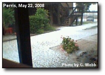 Hail storm: Hail blankets the sidewalks of a Perris apartment complex. Photo courtesy of G. Webb.
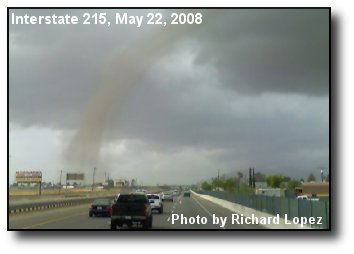 Freeway Twister: A tornado near March Air Reserve Base, as seen from the Interstate 215 Freeway. Photo courtesy of Richard Lopez.
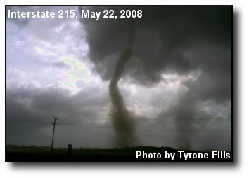 Twin Tornadoes: Multiple tornados spawned from a severe thunderstorm that hit near March Air Reserve Base. Photo courtesy of Tyrone Ellis.
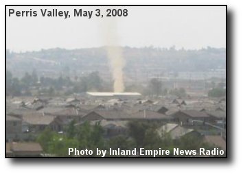 Dust Devil: Winding through the Perris Valley, this dust devil hit, but caused no damage to, the Perris weather station. Photo courtesy of Inland Empire News Radio.
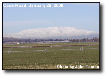 White Baldy: The snowy slopes of Mount Baldy seen from south Perris, across green fields. Photo courtesy of WeatherCurrents.
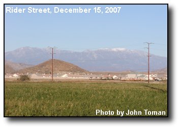 Autumn Snow: White-capped Mt. San Gorgonio stands above the Lake Perris dam. Photo courtesy of John Toman.
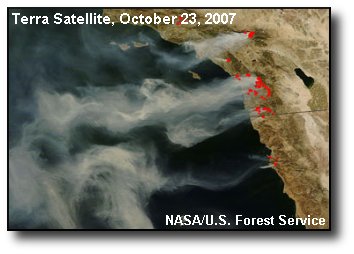 From Space: Smoke winds across the Pacific Ocean in this view of the Southern California wildfires from space. Photo courtesy of NASA/U.S. Forest Service.
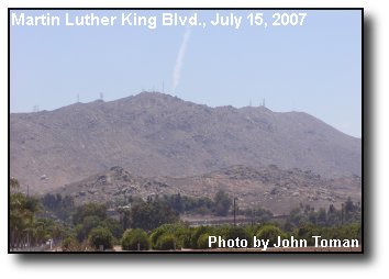 East Hills: Radio towers and a contrail meet at the rocky hills above U.C. Riverside. Photo courtesy of John Toman.