76°F / 50°F
12 mph W
0.00"
Photos From Hailstorm: February 20, 2003
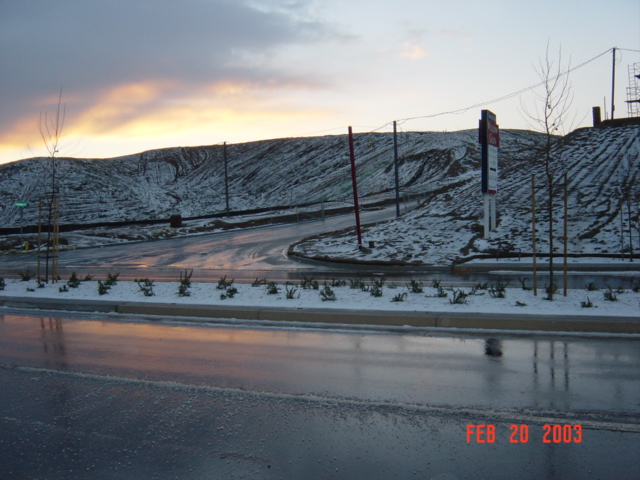
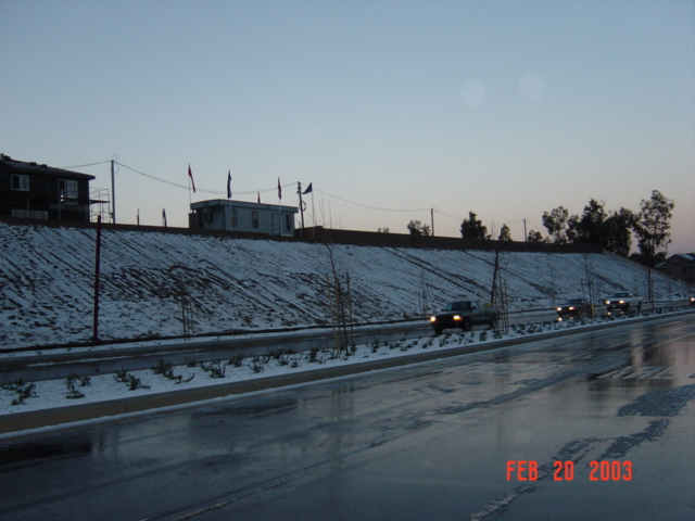
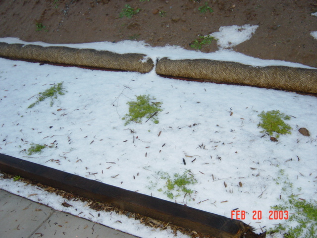
Between midnight and 1am on February 20th, parts of the Temecula Valley were loudly pelted with hail. The areas affected included the northeastern parts of Temecula, including Roripaugh Hills, Meadowview, and the Nicholas Road / Winchester Road / Murrieta Hot Springs (Silverhawk) area. The hail was accompanied by thunder and lightning, and precipitation amounts in south Temecula were 0.02" for the hour. Hail, thunder and lightning were reported as far north as Perris.
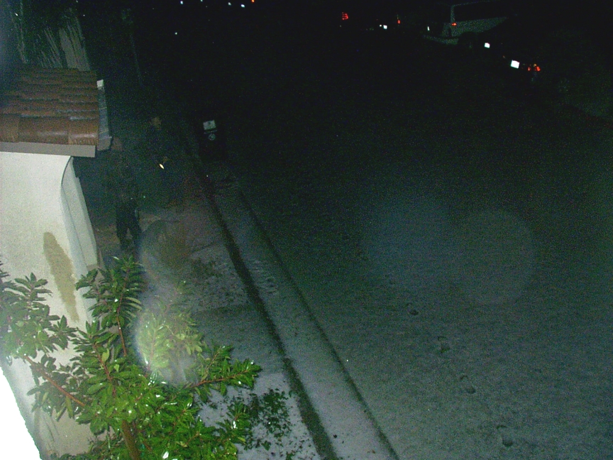
The first three photos below are courtesy of Henry Reyna, and were taken around sunrise on Murrieta Hot Springs Road. The fourth photo was taken after midnight by Elizabeth Schmit. Notice the footprints in the fourth photo. The hail left a very snow-like appearance.
You can read more about the hailstorm at this Californian newspaper story.
See a list of all features, including fires, snow, hail and other events, on the features page.
|
|
|
|