76°F / 50°F
calm
0.00"
Photos From The Morales Fire: September 2, 2004
Last updated 12:00pm September 3rd
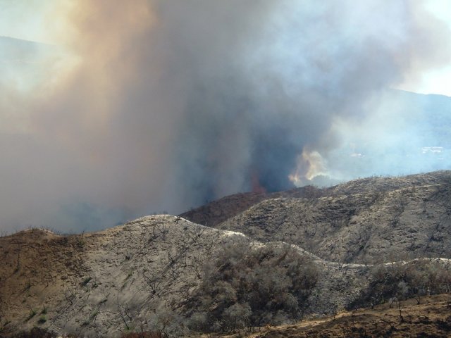
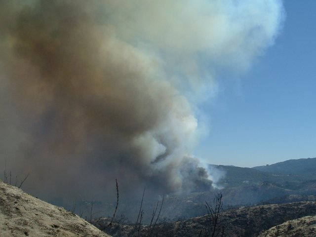
The past year and a half has seen many fires in the Temecula Valley, the latest a grass and brush fire in the northeastern part of the valley, close to Morgan Hill and the Pechanga Indian reservation, and near where parts of the Eagle Fire burned in May. Lack of rainfall over the past several years has contributed to the rash of recent wildfires.
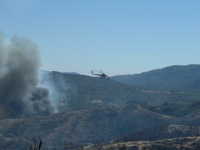
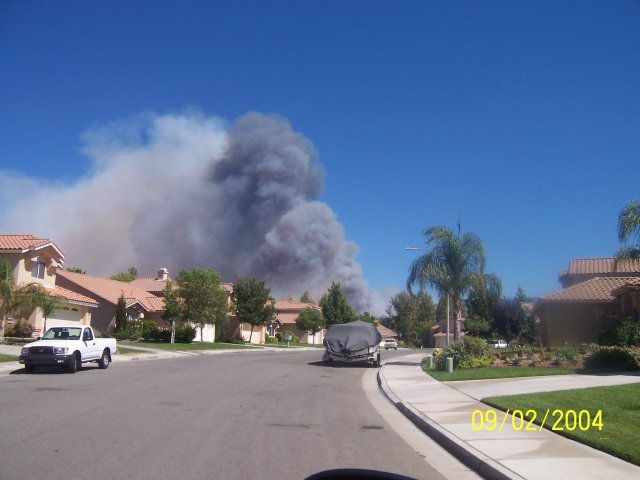
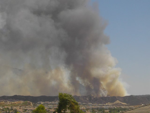
The Morales Fire began at around 1:30pm on a Thursday afternoon and quickly sent a large smoke plume up into the air. 141 firefighters worked hard to contain the fire by evening, and the smoke plume was gone by nightfall. 200 acres of mostly grassland were burned; no structures were burned or threatened.
The pictures were contributed by Greg Turbeville, Michael Mojarro and Charlene Spell. In addition, a 20 second video clip of a fire helicopter taking off fire helicopter taking off was contributed by Michael Mojarro.
See a list of all past weather happenings in the Temecula Valley over the past several years on the Features page. Browse a chronology of major Southwest Riverside County wildfires.
| The following photos were taken Thursday afternoon by Michael Mojarro. |
|
|
|
|
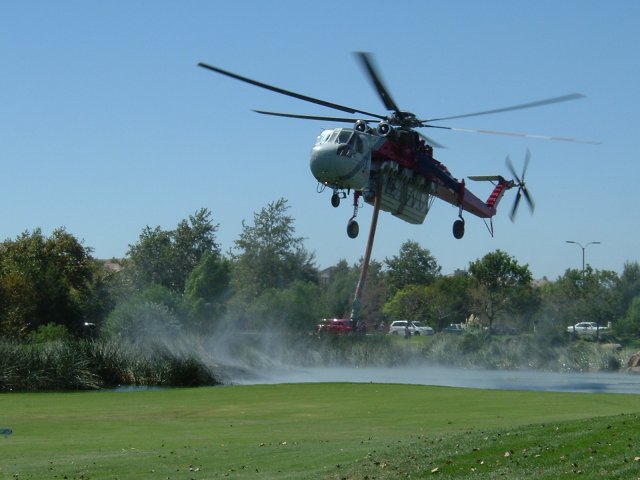
| The following photo was taken Thursday afternoon by Greg Turbeville. |
|
| The following photo was taken Thursday afternoon by Charlene Spell. |
|